A bridge at Point F on Map 13 is damaged and unusable. We are planning to repair this bridge as soon as possible. For now, we recommend you utilize the “Other Local Trail” routes that can be found on the map as a thin, solid red line
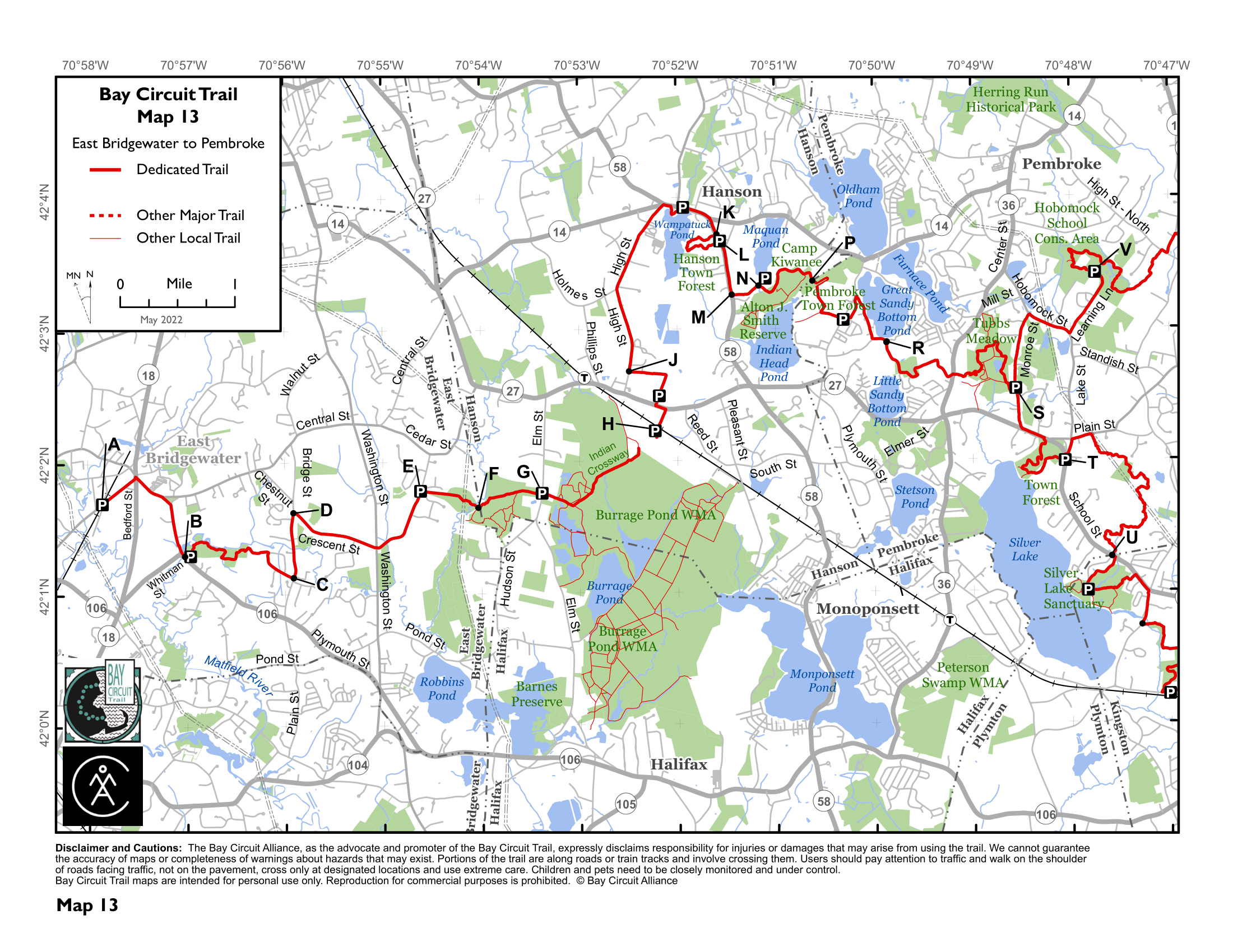
A bridge at Point F on Map 13 is damaged and unusable. We are planning to repair this bridge as soon as possible. For now, we recommend you utilize the “Other Local Trail” routes that can be found on the map as a thin, solid red line
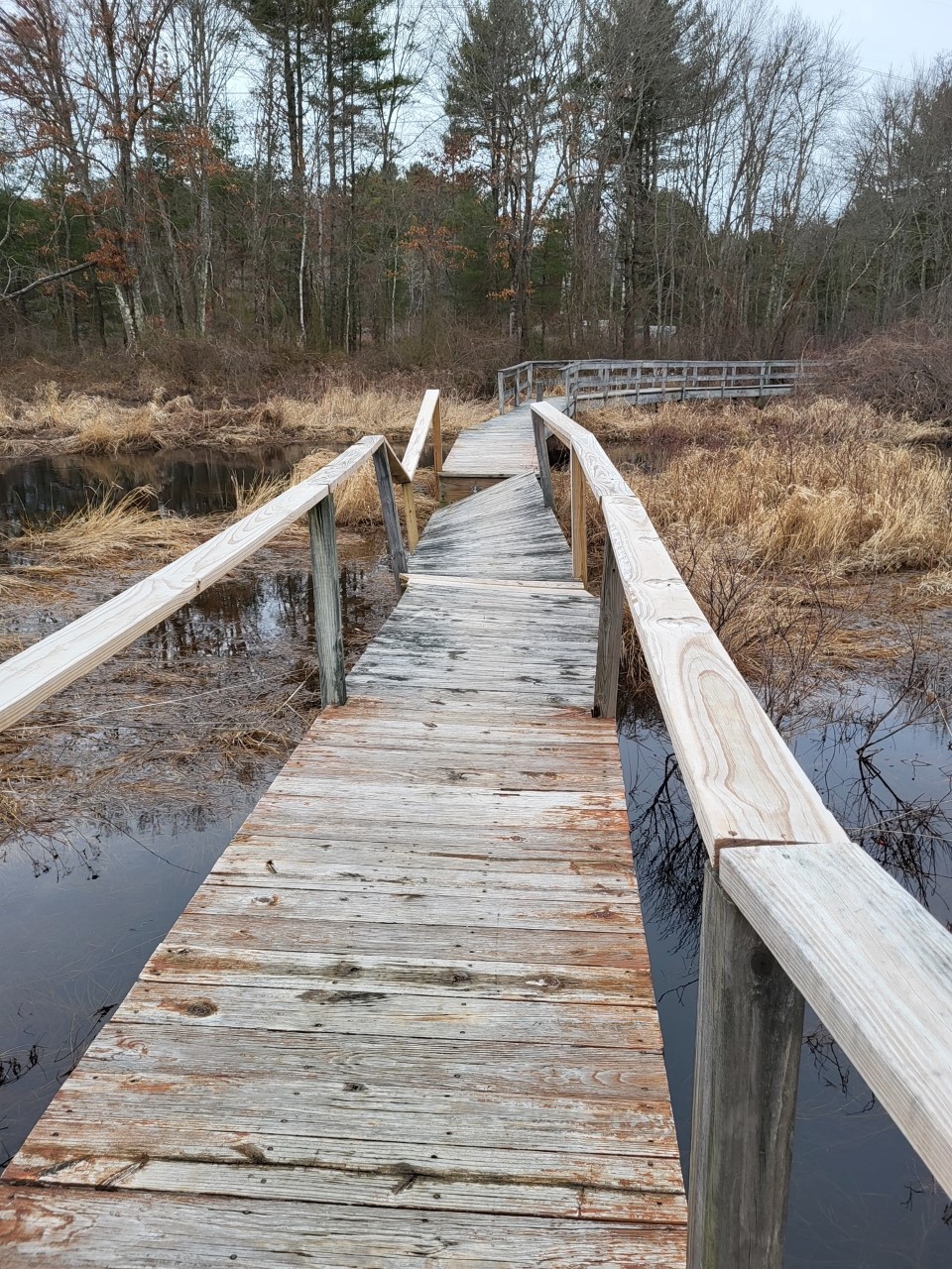
Update: our AMC AmeriCorps trail crew replaced the bridge and it is now passable! Thanks AmeriCorps! The bridge over the Jones River in Kingston’s Hathaway…
The trail around the northernmost part of the BCT in Wayland, the “Nike Site” or “Oxbow Meadows” is temporarily altered while construction of a playing…
The bridge going over Mill River in Georgetown-Rowley State Forest (mile 9.5 on Section 2’s Guide) is not flooded as of April 25th 2022. If…
We’re excited to announce that the reroute through the Ashland Town Forest is now complete, thanks to the help of AMC staff and town forest…
A logging operation in Sherborn Town Forest will begin on Feb 5th, 2024. As a result, the BCT will be closed from Point B (Perry…
The access to the Cranberry Watershed Preserve parking lot off of Grove Street (Map 14, Kingston, Section M, Mile 3.3) is blocked to vehicular access, but open to pedestrians and…